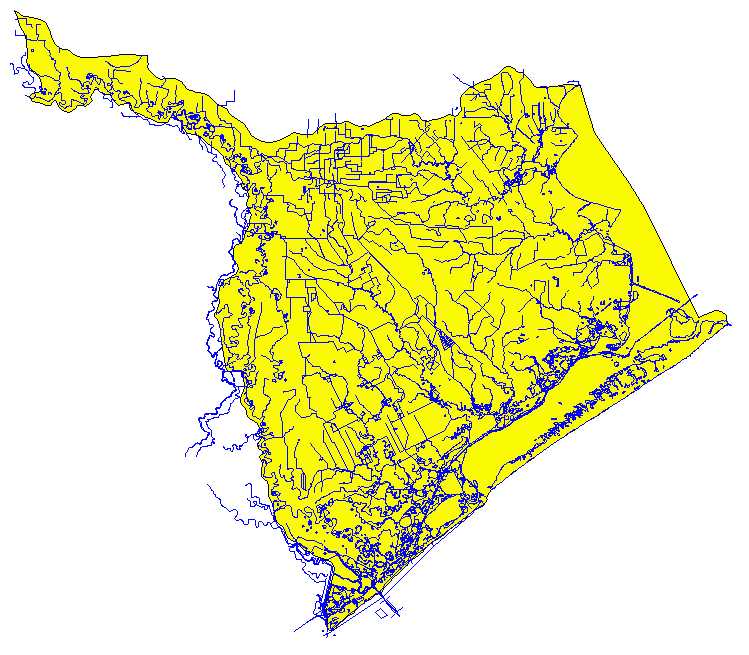
from the BASINS webpage: http://www.epa.gov/OST/BASINS/gisdata.html

from the Pacific Database at the Center for Research in Water Resources

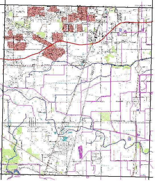
from the CD's available at the Center for Research in Water Resources

from the Pacific Database at the Center for Research in Water Resources, also available from the BASINS webpage: http://www.epa.gov/OST/BASINS/gisdata.html

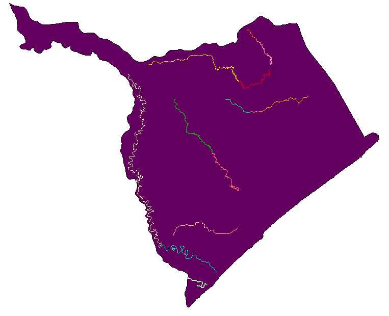
from a shapefile provided by the TNRCC "segsfy99"